


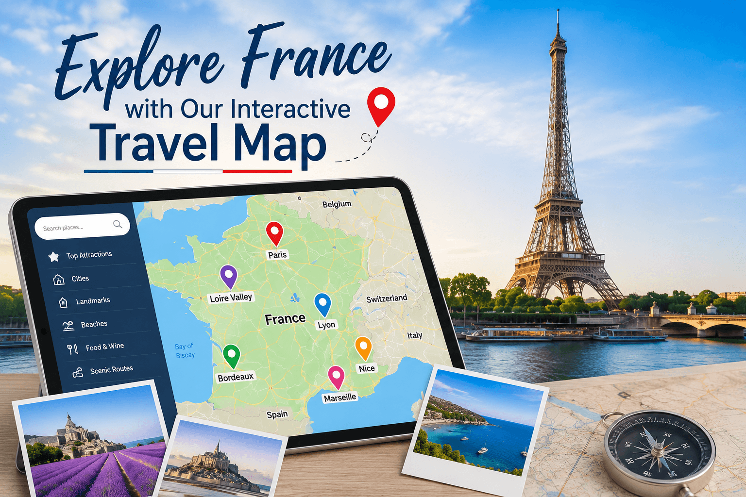
 France Interactive Map
Organizing a trip through European history demands clear visual coordination. Savvy travelers choose to Explore France with Our Interactive Travel Map to make this simple. This digital tool combines geographic data, local recommendations, and live transit updates into one smooth interface.
Skip the headache of static itineraries by mapping out your journey from Paris to the sunny southern coast. This guide explains how to get the most out of your digital travel tool.
Why You Need to Explore France with Our Interactive Travel Map
Old-school trip planning relies on scattered spreadsheets and dusty paper guides that fail to show actual distances. A dynamic map brings your lodging, stops, and transit routes together on one screen. This visual setup prevents scheduling clashes and stops you from booking double transit trips on the same afternoon.
Travelers using digital mapping tools report significantly reduced navigation stress and find it easier to locate lesser-known historical spots along their path. Transitioning from paper guides to digital layouts also streamlines the scheduling process, saving valuable planning time before and during the trip.
Staying organized is key to enjoying an international vacation. Seeing regional hills and rail lines beforehand stops you from booking impossible multi-city transfers. A clean map turns vague plans into a workable daily routine.
Key Features to Explore France with Our Interactive Travel Map
To get the most out of your trip, it helps to understand how this map platform functions. The system overlays different data sheets to show exactly what lies on your path. You can switch views to find historic ruins, dining spots, or scenic country roads.
The software pulls live updates to keep opening hours and admission rules correct. This spares you from driving to a distant castle only to find it locked for private repairs. The screen also works offline when you lose signal in deep country valleys.
| Feature | Details | Advantages |
|---|---|---|
| Live Traffic | Real-time road status on highways and toll roads | Avoid major delays and jams |
| Historic Sites | Highlights UNESCO heritage spots with short summaries | Gain deeper knowledge of the culture |
| Train Schedules | Covers SNCF train networks and regional bus lines | Easy connection planning |
Route Planning: Explore France with Our Interactive Travel Map
Building a smart path through places like Brittany, Alsace, and Provence requires spatial awareness. The routing system calculates quick paths based on how you prefer to travel. You can compare driving times against express rail lines side by side.
For example, traveling from Paris to Bordeaux takes two hours by train but almost six hours by car. The map highlights this difference immediately to help you choose. You can save custom routes to your phone for quick access on the road.
To build your custom path, follow this sequence.
- Select your starting airport and departure city to set your trip borders.
- Pin your must-see spots to view the natural path of your journey.
- Use the option to Explore France with Our Interactive Travel Map to add regional stops and break up long driving stretches.
Explore France with Our Interactive Travel Map and Discover Local Dining
French food changes from province to province, each area hosting its own dishes and vineyards. Standard search systems often point you toward tourist traps instead of genuine local bistros.
When you Explore France with Our Interactive Travel Map, the curated dining layer reveals verified traditional kitchens. From Normandy cider cellars to famous dining spots in Lyon, the map groups food options by local style. You can filter locations by food type to make sure every meal matches local tradition.
- Family-run diners serving classic stews and regional plates.
- Local cheese dairies offering tours and tastings of real Comte and Roquefort.
- Historic vineyards in Champagne and Bordeaux that take bookings directly.
Smart Tips for Smooth Navigation
Getting the most from your map requires a few simple habits. Download your regional maps on hotel wireless networks before heading into the countryside. This ensures you keep your directions even in deep valleys without cellular reception.
It helps to use the custom bookmark tool to group your favorite spots. You can color-code pins to separate dining, hotels, and historic points. This keeps your screen clear and helps you make quick choices on the go.
Another excellent way to Explore France with Our Interactive Travel Map is to download offline maps and turn off background data while walking marked paths. This simple step saves battery power. Carrying a small power bank ensures your map stays on during long day trips.
Good travel planning mixes organization with the freedom to find surprise spots. Having a live digital map gives you the foundation to navigate a country as diverse as France. Start planning your European getaway now, and remember to Explore France with Our Interactive Travel Map.


Comments are closed